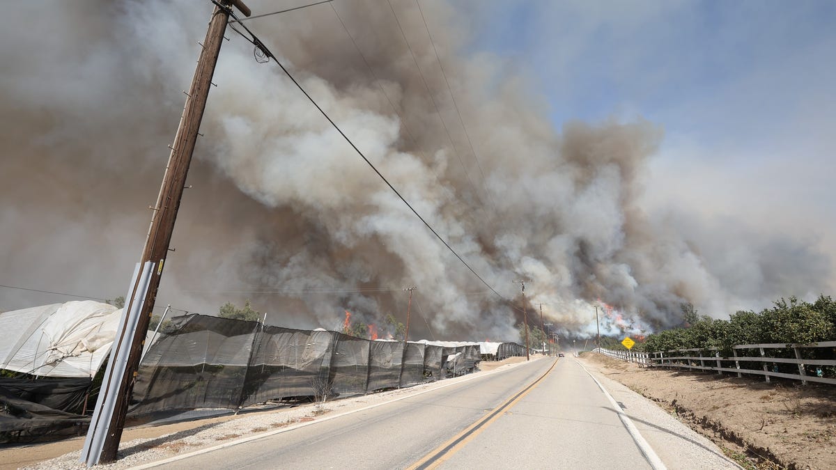
T
he California Department of Forestry and Fire Protection has updated fire hazard severity zones in Ventura County, which will take effect in July. The new maps classify areas into moderate, high, and very high hazard zones based on factors such as fire history, vegetation, terrain, and proximity to open space. This update more than doubles the local area included in fire hazard severity zones for property owners in Ventura County.
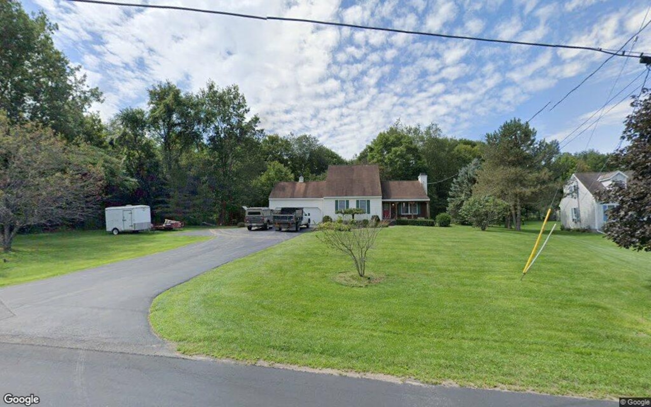
The updated maps add 37,000 parcels and 56,000 acres to areas where the county's Fire Department provides protection. The department's fire marshal, Joe Morelli, said this will require a significant transition, including doubling the number of homes they must inspect for real estate disclosures. The new zones also increase the number of parcels in very high hazard areas from 49,000 to 59,000.
The updated maps are part of a state-mandated process that requires local officials to adopt the new zones within 120 days. While Supervisor Jeff Gorell asked if any areas were wrongly included in the hazard severity zones, Morelli said the department found some areas that might be included but ultimately decided they represented current hazards.
Local homeowners may face new regulations as a result of the updated maps, including requirements for ember-resistant buffers around structures in high fire severity zones. The governor has directed the State Board of Forestry to establish these regulations, which are expected to be released later this year.